Boundary and lot surveys
Confirm property lines, locate corners, prepare plats, and reduce uncertainty before purchases, fences, additions, or land improvements.
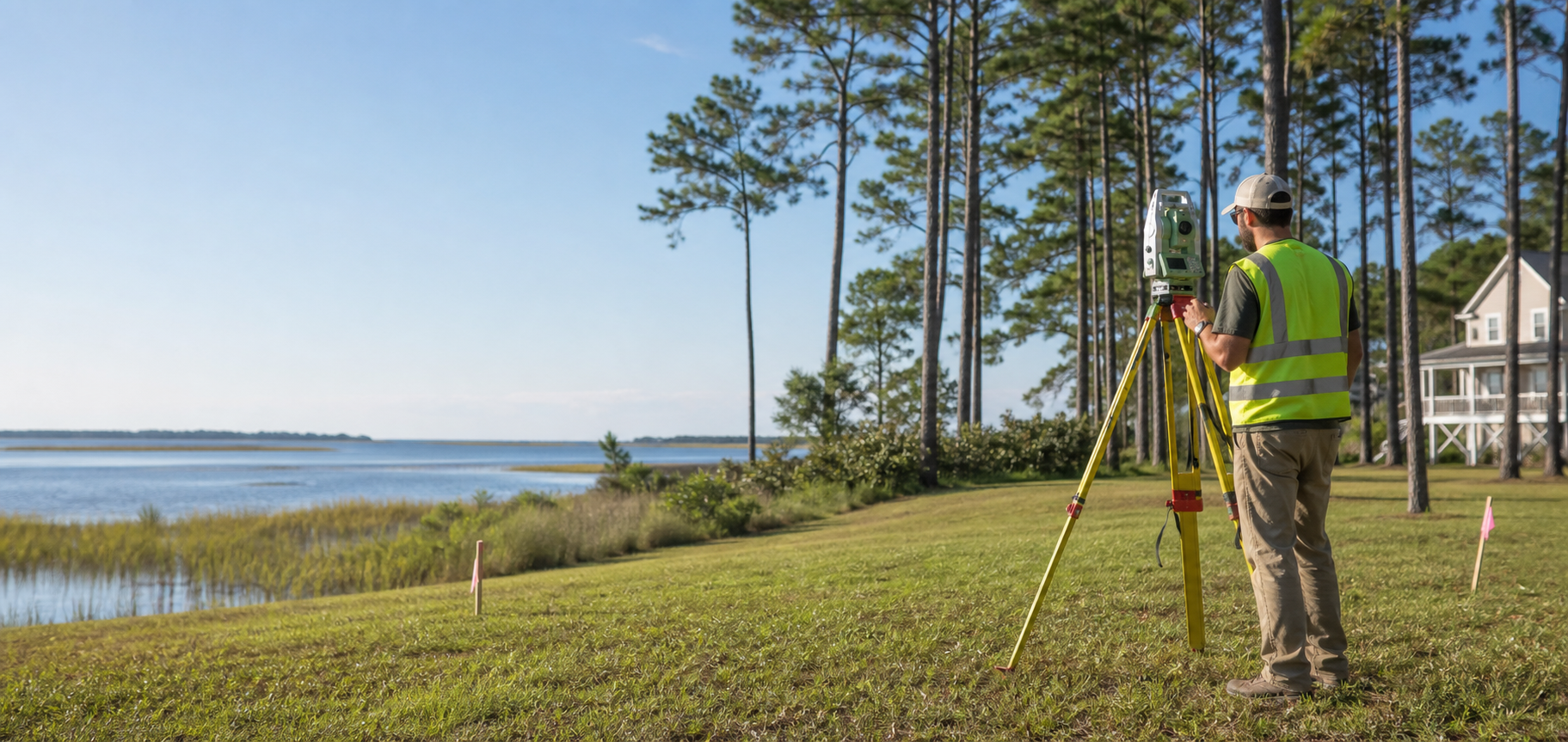
Residential land surveying in Eastern North Carolina
Pamlico Land Surveying, PLLC helps property owners, builders, banks, and real estate professionals understand boundaries, elevations, and site requirements across Craven, Carteret, Jones, Pamlico, and nearby Eastern NC counties.
Need a quote faster?
Surveying services
Pamlico Land Surveying handles the survey work homeowners and project teams need before closing, construction, financing, permitting, or site improvements.
Confirm property lines, locate corners, prepare plats, and reduce uncertainty before purchases, fences, additions, or land improvements.
Document elevations and existing site conditions so designers, builders, and owners can plan with reliable field information.
Support banks, contractors, and permit requirements with location surveys and as-built documentation during or after construction.
Translate plans into accurate field markers so crews know where structures, improvements, and reference points belong.
Prepare plats and survey support for small division projects where local requirements and recordable documents matter.
Help coastal property owners and builders understand base flood elevation requirements and pre-construction benchmarks.
How it works
Surveying often depends on deed research, field evidence, terrain, weather, and county requirements. A stronger website should explain that process before the customer reaches out.
Start with the estimate formCost guidance
A North Carolina property survey is technical work that combines measurements, math, records research, real property law, and field interpretation. Pricing depends on the property and the deliverable required.
Service area
The prototype highlights the counties named on the existing website while leaving room to confirm the full service area before production. A future version can add a county-by-county service page and local search content for higher-intent visitors.
Coastal construction support
For new construction in flood zones, survey benchmarks help contractors build above the Base Flood Elevation shown on FEMA Flood Insurance Rate Maps. A focused page should turn this into a clear service path for builders, homeowners, and permit-driven projects.
Who this helps
Know where the boundaries are before a closing, fence, addition, or driveway project creates a problem.
Get layout, benchmarks, and as-built information aligned with plans, permits, and site constraints.
Support financing, closing, and title-related requirements with survey documentation and responsive communication.
Common questions
Based on the existing site content, it is usually not necessary because field work is completed outside the residence or building on site.
No. The existing site explains that customers do not need to complete deed research or collect copies of neighboring deeds and maps before requesting an estimate.
Pricing can depend on field evidence, boundary disputes, terrain, underbrush, deed clarity, weather, travel time, mylar requirements, elevation certificates, benchmarks, as-built surveys, and expedited deadlines.
The existing site describes many survey projects as completed within 21 days of notice to proceed or sooner, subject to project scope and site conditions.
Request an estimate
This static concept uses a front-end form layout. In production, it should connect to email delivery, spam protection, file uploads, CRM tracking, and automated confirmation messages.